Drone and photogrammetry

DRONE TOPOGRAPHY

Elevation readings and distance measurements.

Prise de vue aérienne d'un chantier, pour suivi topographique
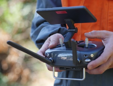
Pilote de drone en prise de vue pour un relevé topographique

Drone topography

Accurate topography of large areas

Drone topography allows to carry out very precise elevation readings and distance measurements. It is used to map very large or hard-to-reach areas quickly and safely.

logos partenaires topographie

Drone topography methodology

Drone topography : speed, safety and precision

Mapping of multiple sectors

Drone topography offers great speed of action and maximum safety. It allows to map very large, difficult to access or dangerous sectors without risk.

Prise de vues topographique par drone
The quality of the equipment used for the shooting and our post-production know-how offers an absolutely precise rendering.
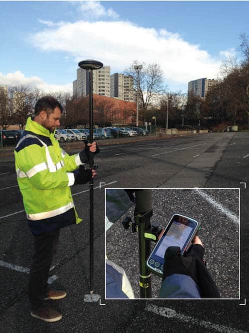
Precise geolocalisation thanks to GPS RTK

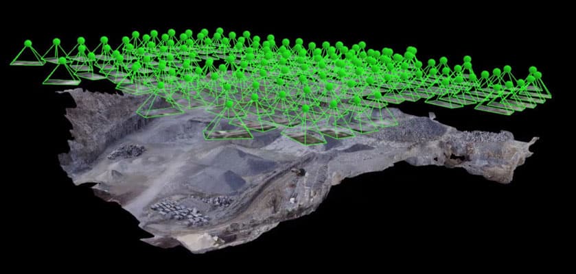
Data acquisition is done by flying over the area to be mapped and taking numerous shots by the drone. The aircraft is equipped with a GPS RTK with a centimetric accuracy.

This references each point of an image in relation to one or more targets, previously installed on fixed points whose GPS coordinates are known.

GPS-RTK
After a post-processing step, we can create very precise maps. The data can also be integrated into a GIS.

Post-processing and extraction of topographic data

Photogrammetry is a computer processing that allows to model the area photographed by the drone at many georeferenced points.

Our expertise allows us to extract a very precise topographic plan, including side points and contour lines.

If necessary, a georeferenced orthophotograph is superimposed to add an aerial visual.
Topographie, travail de post-production

We can also produce a digital terrain model or DTM which is a 3D modeling of the terrain. It is then possible to easily establish topographic profiles or perform cubature calculations.

Application of drone topography

Concrete applications of drone topography

Territory development
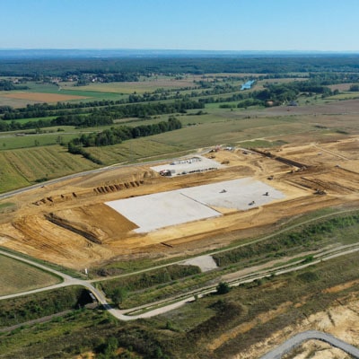
Topographie, aménagement du territoire
Drone topography is widely used at the project stage by design offices, surveying experts or territorial services. It allows them in particular :
  • 5To establish detailed maps, including precise altimetric data, to study the location of buildings or the integration of large-scale developments into the relief: water reservoir, bridge, road, etc.
  • 5To evaluate the costs of earthworks for large-scale projects very precisely
  • 5To carry out reliable calculations for the evacuation of cuttings or the needs for backfill materials

Construction site monitoring
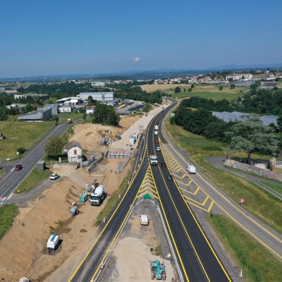
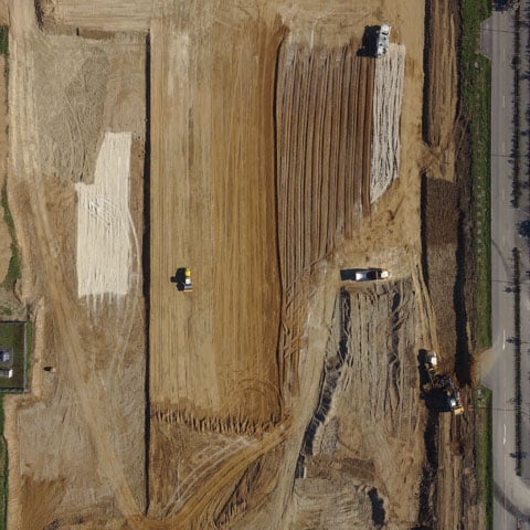
Prise de vue par drone, suivi de chantier routier
At the execution stage, construction companies can more easily monitor major road and rail projects or the development of large areas of activity. The high precision of topographic surveys by drone allows to ensure that the settlements are perfectly respected. Regular mapping also allows to effectively monitor the progress of the work.

Exploitation of quarries

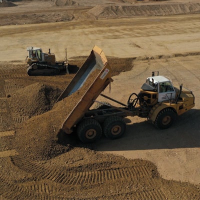
Déchargement de matériaux par un camion
Drone topography is a valuable tool for managers of mines, extraction quarries or material deposits. The calculation of cubatures allows the very precise evaluation of the volumes of materials. A regular mapping of the places offers a visualisation of the evolution of the site to adapt the management of the space accordingly.

Monitoring the evolution of a particular environment
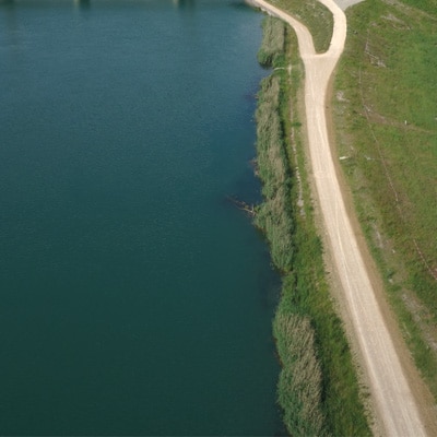
Vue aérienne d'une inspection de berge de cours d'eau
Drone topography allows to establish a regular mapping of an environment to monitor its evolution. Thus, it is possible to monitor the condition of a dike to identify any damage and act at the right time. In the same way, the use of the drone can facilitate the management of waterways by identifying particular areas of erosion or, on the contrary, of sedimentation.

Our expertise in drone mapping also extends to other areas of application :

logo studiofly audiovisuel

Discover our entity dedicated to audiovisual production

logo fédération professionnelle du drone civil - FPDC

Member of the FPDC

All rights reserved | Studiofly | 2021 | General Terms and Conditions | Privacy policy